- Rigg & sail
- Rope & cordage
- Anchoring & mooring
- Hull & deck
- Cabin & comfort
- Paint & boatbuilding
- Electrics & engine
- Pumps & sanitation
- Safety & VHF radio
- Navigation & books
-
Commercial shipping
- Life saving appliances
- Constant wear life jackets
- Search lights
- Electric lights
- Pilot ladders
- Rope & accessories
- Paint
- Navigation lights
- Shackles
- Cooling water filters
- Anodes
- Engine controlls
- Anchor & moorage
- Latching devices
- Vents
- Pumps
- Water disinfection
- HNA switches, couplings & adapers
- VHF radio & emergency communication
- Signals
- IMO signs & stickers
- Fire protection
- Compasses
- Barometers, clinometers & instruments
- Distress signal
-
Bridge equipment


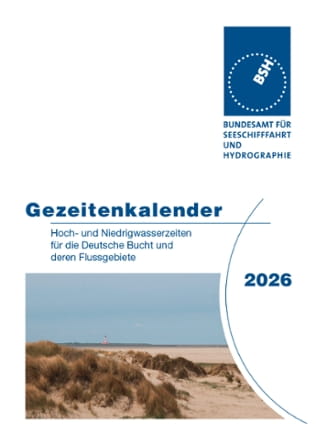
The BSH publication 2115 "Tide Tables 2025: European Waters" provides detailed astronomically predicted high and low tide times for 38 European reference locations. It can also be used to calculate the tides for over 700 connecting locations along the North Sea, the British Isles, Ireland and the Atlantic coast of Europe. The coverage extends from Norway to the Canary Islands.
The tide tables are divided into five sections:
I. Detailed forecasts for the European reference locations
II. tidal differences for the European reference locations
III. mean high and low tide values for the German locations
IV. Auxiliary charts and river maps
V. The tide charts
Annually updated edition. DIN A4 format, 266 pages, paperback.
The table of contents and the introduction to using the charts can be downloaded.
€28.00*
Prices incl. VAT plus shipping costs
Description
The BSH publication 2115 "Tide Tables 2025: European Waters" provides detailed astronomically predicted high and low tide times for 38 European reference locations. It can also be used to calculate the tides for over 700 connecting locations along the North Sea, the British Isles, Ireland and the Atlantic coast of Europe. The coverage extends from Norway to the Canary Islands.
The tide tables are divided into five sections:
I. Detailed forecasts for the European reference locations
II. tidal differences for the European reference locations
III. mean high and low tide values for the German locations
IV. Auxiliary charts and river maps
V. The tide charts
Annually updated edition. DIN A4 format, 266 pages, paperback.
The table of contents and the introduction to using the charts can be downloaded.

More Products from Category Bridge equipment


